4 routes, 1 destiny: Do the Camino de Santiago
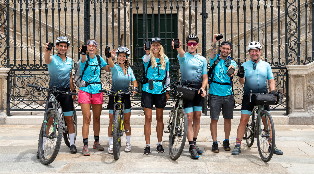
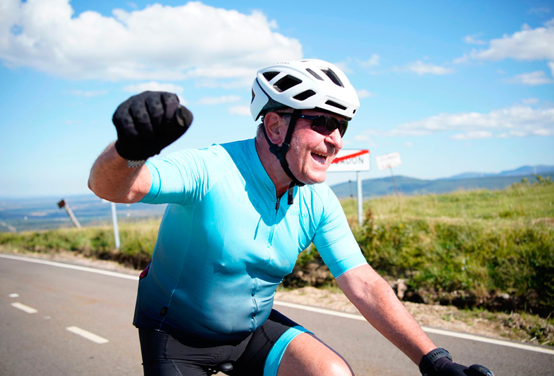
Mission accomplished!
How about you? Surely you've thought about making the journey...
Why did we choose Camino de Santiago? It is a world-famous route. Medieval pilgrims travelled the different paths to Santiago as a purification journey to achieve inner peace. These days it's very common to do the route for personal reasons.
Follow both teams' progress on our social media platforms
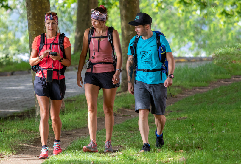
The Participants
Committed to the environment

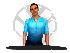
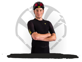
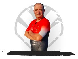
Competition winners
TwoNav users like you

Follow the evolution of the 2 teams with SeeMe™
Follow the evolution of the challenge live. Get to know where is each member of the team and all that lies ahead.
With SeeMe™ you can monitor their position in real time and analyze performance with data of great interest.
Day 1
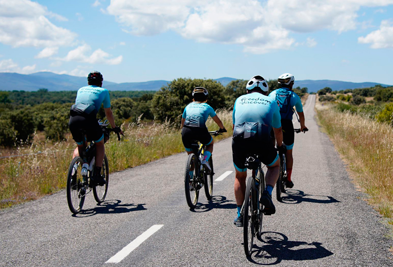
Cycling TeamThe BIKE team highlighted the climb to Cruz de Hierro, leaving the traditional stone and with their wishes. The route left them with beautiful trails that led to the flat fields of Castilla y León before reaching the forested landscape of Galicia.
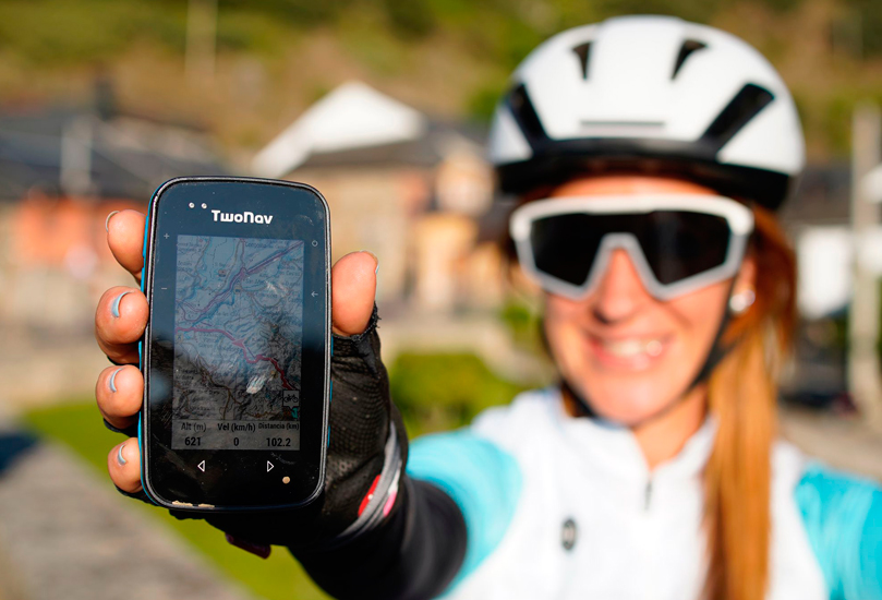
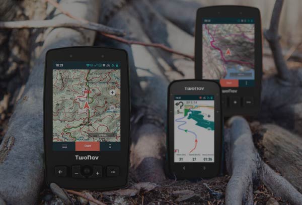
Check itinerary Hiking TeamThe HIKE team had more than 40 km ahead of them on a very varied terrain and with little unevenness. They deviated from the Camino de Santiago route but thanks to Land they reached Praia Rio Sandeu without difficulty thanks to their GPS (Cross, Trail and Aventura 2).
Check itinerary Read moreDay 2
Cycling TeamThe BIKE team faced the hardest stage, 85 km with more than 1,500 meters of positive elevation gain. Ports such as Alto de San Roque and the mythical O’Cebreiro have been conquered.
Check itinerary Hiking TeamThe HIKE team has taken this day to collect garbage from the road (action also known as Plogging) and raise awareness of the fragility of our environment and how important it is to take care of it.
Check itinerary Read moreDay 3
Cycling TeamThe BIKE team had 58 km ahead with 1200 meters of positive elevation gain. A very fun stage where they passed through Sarria, its wooded areas of thousand-year-old trees, Portomarín with the company of the Miño river where they rang the bell of the viewpoint.
Check itinerary Hiking TeamThe HIKE team faced a stage of 25 km and little unevenness. They left Bruma and crossed endless villages between farm fields and forests, until they reached Sigüeiro. The final destination is very close...
Check itinerary Read moreDay 4
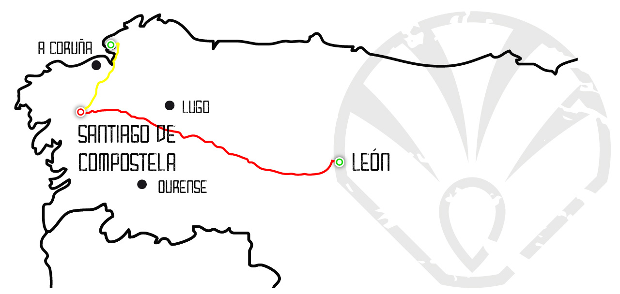
Cycling TeamThe BIKE team has faced 70 km and 1200 meters of positive slope to cover the distance that separated them from Santiago de Compostela, where they finally met the HIKE team.
Check itinerary: Part 1 Check itinerary: Part 2 Hiking TeamThe HIKE team had a short but very nice stage ahead of them. The night before, they used Land to find an alternative route to the usual path that would lead them to the Plaza del Obradoiro through more wooded and hidden roads.
Check itinerary Read moreNOW YOU CAN DOWNLOAD IT TOO
New TwoNav App: Test it on the Camino de Santiago
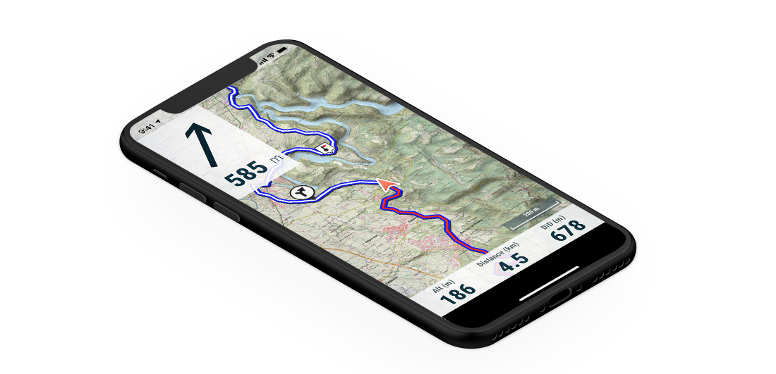
Discover how our products are interrelated to have a more complete and safe outdoor experience from start to finish.

 Secure Payment
 Free shipping on orders over €60 (UE)
 Financing on orders +60 €
 Hassle-free returns







 Secure Payment
 Free shipping on orders over €60 (EU)
 Hassle-free returns