 Secure Payment
 Free shipping on orders over €60 (UE)
 Financing on orders +60 €
 Hassle-free returns
Enhance your Route with Roadbook points
Complement your track with waypoints, maneuvers, and location comments
With the route and waypoints in the area already created, now it's time to enrich the route. So when we are navigating it, the GPS or the TwoNav App will alert us in advance of the events and highlights we have marked along the route.
When walking or cycling, we enjoy our activity instead of constantly checking the GPS. So, having the GPS notify us a few meters before a maneuver or an important point will be very useful. We'll carry the GPS as navigation aid and for safety, not to be constantly monitoring it.
As we will see, it's not about filling the route with maneuvers, I'll only mark the ones I consider most important and necessary. This way we'll avoid the GPS or the TwoNav App beeping and constantly alerting us. Above all, let's enjoy the surroundings!
Import waypoints to the route
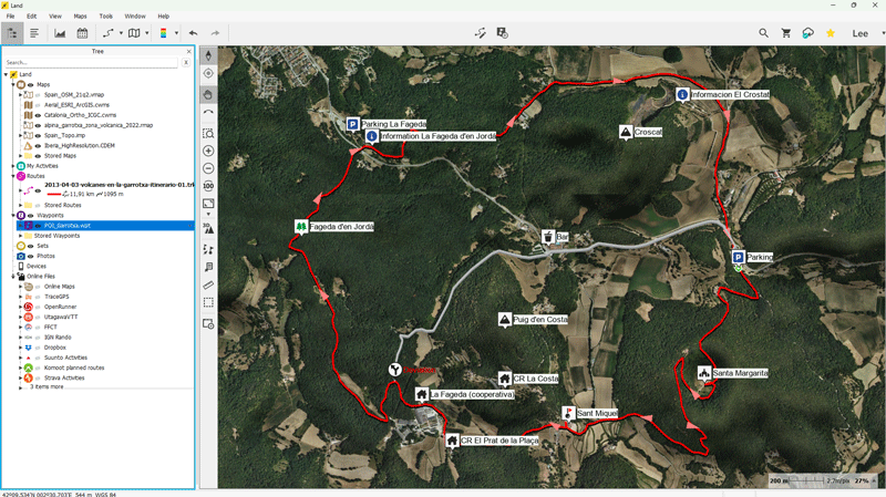
I open the route and the waypoints I've marked before. Now what I'm going to do is 'import' these waypoints to the route. The easiest way to do this is from the Land 9 data tree. Just drag the waypoints file onto the route. This will 'insert' the waypoints closest to the route as roadbook points.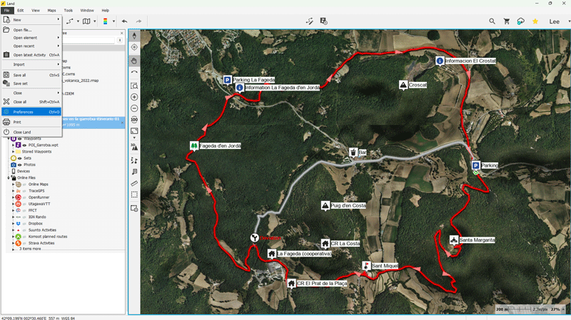
By default, Land 9 will import waypoints that are 400 m away from the route, but we can change this setting. In this example, I have reduced this distance from 400 m to 50 m so that Land 9 does not add waypoints that are too far from the route since I'm not interested in importing waypoints that distant.
Next, I import the waypoints to the route by dragging the waypoints file onto the route.

The waypoints have been automatically imported as roadbook points. We visually differentiate waypoints and roadbook points by the box that contains them. Waypoints are displayed in a square box, while roadbook points are displayed within a circular box.
Manually add more roadbook points
The map I'm using contains valuable information that I can use to complement my route. I look at the map, analyze its information, and add other roadbook points that I consider important for this route, such as detours, steep descents, steep climbs, forests, beautiful views...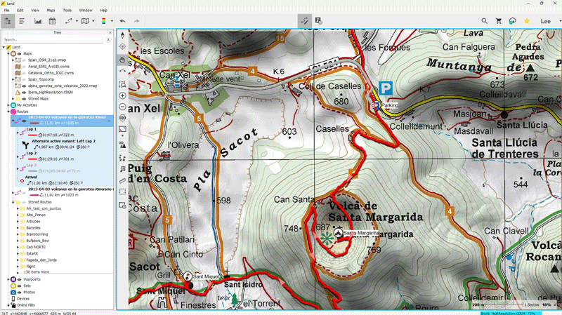
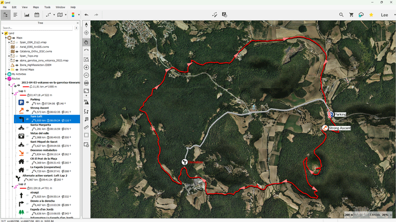
After a few minutes, this is how complete my enriched route looks. We are ready to send it to the GPS or to the TwoNav App and start navigating it!
Here are some practical examples to make it easier for you to add roadbook points to your routes. It's very easy!
Mini-Tuts

Add roadbook points to a track

Add intermediate points to a track
In the final chapter of this training, I'll show you how to analyze the route a bit to have clear some important values. We'll synchronize the route with GO Cloud and thus we'll be able to easily share it with other enthusiasts.
Shall we continue?
Would you like to continue receiving tips like these and more information about Land 9?
Yes, I want to stay informed
 Secure Payment
 Free shipping on orders over €60 (EU)
 Hassle-free returns